USGS – Earth as art
Nothing like some perspective on the place we call home. Especially on the cusp of NASA’s great announcement coming up on Thursday about extraterrestrial life (I know, it’s hard to take that sentence seriously). The images are extraordinary but I absolutely love the captions. I like to dig further and search YouTube & Vimeo for videos of some of these obscure locations. I’m always pleased to find treasures and places I’ve never dreamed of. What a planet.
Thanks, USGS

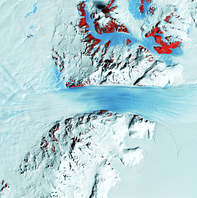
Truly a river of ice, Antarctica’s relatively fast-moving Byrd Glacier courses through the Transantarctic Mountains at a rate of 0.8 kilometers (0.5 miles) per year. More than 180 kilometers (112 miles) long, the glacier flows down from the polar plateau (left) to the Ross Ice Shelf (right). Long, sweeping flow lines are crossed in places by much shorter lines, which are deep cracks in the ice called crevasses. The conspicuous red patches indicate areas of exposed rock.

Like sweeping brushstrokes of pink and green, the Belcher Islands meander across the deep blue of Canada’s Hudson Bay. The islands’ only inhabitants live in the small town of Sanikiluaq, near the upper end of the middle island. Despite the green hues in this image, these rocky islands are too cold to sustain more than a smattering of low-growing vegetation.
— — —
As an example of searching the internet for some of these obscure locations, here is what family life in Sanikiluaq, Nunavut looks like. Just reading the caption above, the islands seem stark, bare, and bleak. But the human element is far more intimate and interesting:

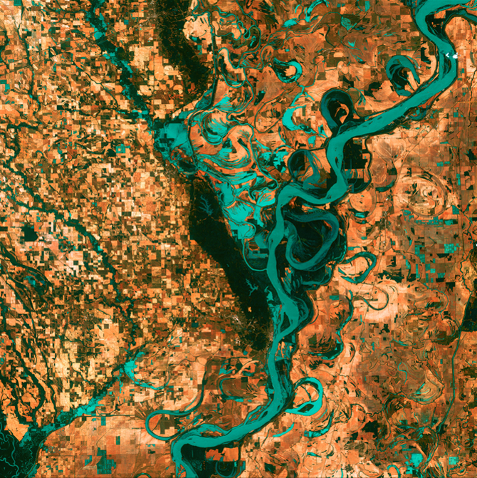
Small, blocky shapes of towns, fields, and pastures surround the graceful swirls and whorls of the Mississippi River. Countless oxbow lakes and cutoffs accompany the meandering river south of Memphis, Tennessee, on the border between Arkansas and Mississippi, USA. The “mighty Mississippi” is the largest river system in North America.

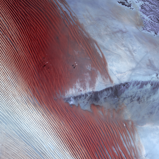
White pinpricks of cloud cast ebony shadows on the Rub’ al Khali, or Empty Quarter, near the border between Saudi Arabia and Yemen. The lines of wind-sculpted sand are characteristic of immense sand deserts, or sand seas, and the Rub’ al Khali is the largest desert of this type in the world. A highland ridge is just high enough to disturb the flow of the lines. In the center of that interruption lies the Saudi Arabian town of Sharurah.

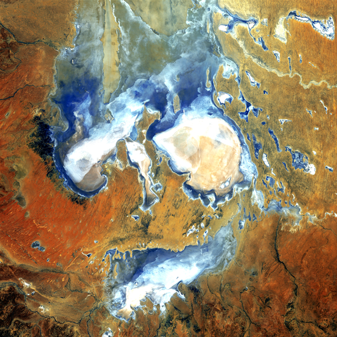
Do you see a scary face looking back at you? The hollow-appearing eyes, narrow nose, and slash of a mouth are inundated patches of shallow Lake Eyre (pronounced “air”). Deep in the desert country of northern South Australia, Lake Eyre is an ephemeral feature of this flat, parched landscape. When seasonal rains are abundant, water fills the lakebed to some degree. During the last 150 years, Lake Eyre has filled completely only three times. When brimming, it is Australia’s largest lake.